Products

Max groundwater detection systems

Siddhani Enterprises distributes the Max range of geophysical survey instruments - locating, profiling and induced-polarization systems that survey from 150 m to 1,250 m depth - with training and 2-year warranty support included.

Flagship
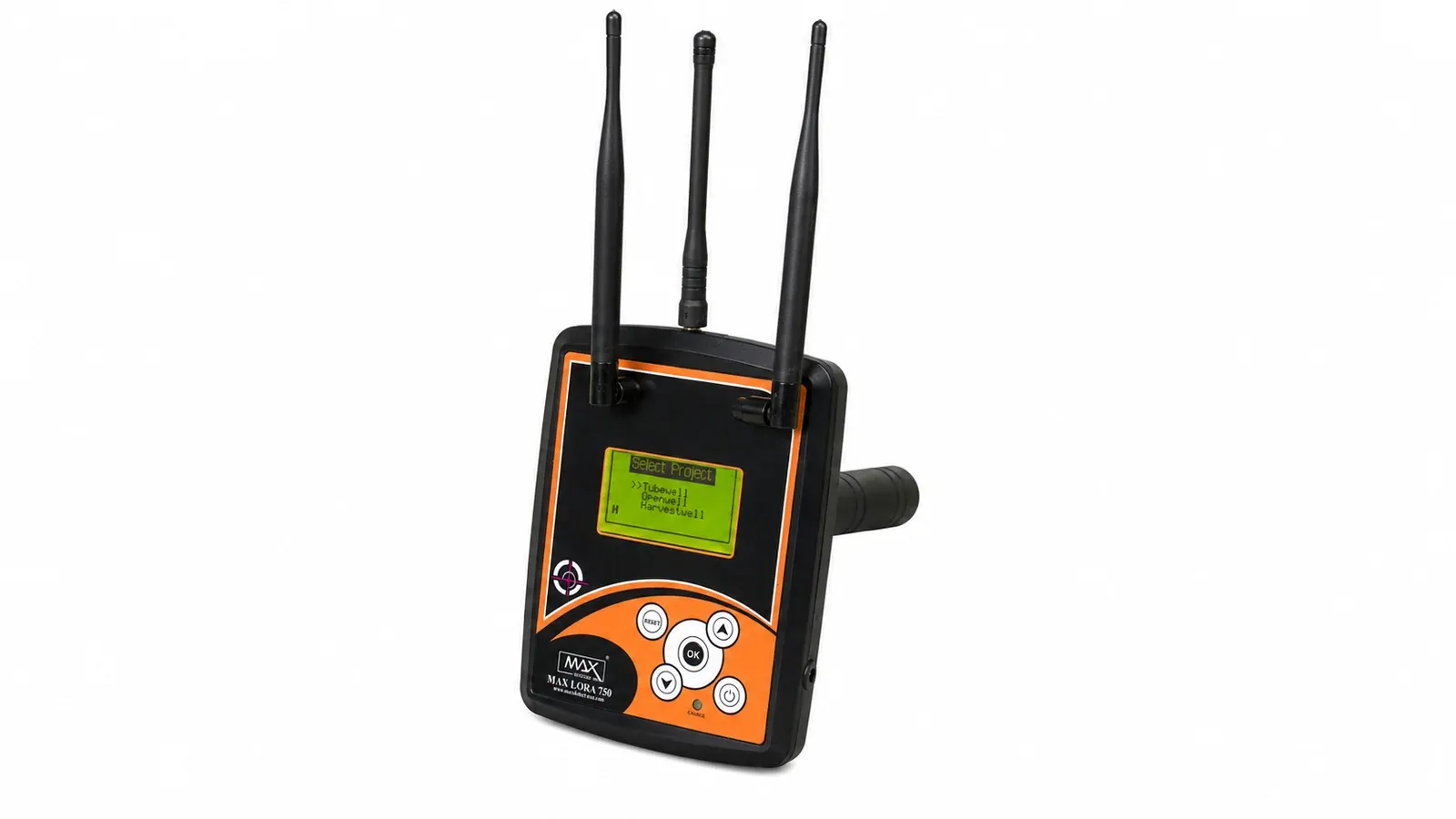
Max Lora 750 - Find the fault line. Mark the point. Drill with confidence.
The 3D Locator

Max Lora 750

Find the fault line. Mark the point. Drill with confidence.

  • Technology: Auto frequency intervention measurement (VHF / VLF)
  • Front range (X-axis): 0-2,000 m
  • Depth range (Z-axis): 150 / 300 / 500 / 1,000 m
View Max Lora 750 →
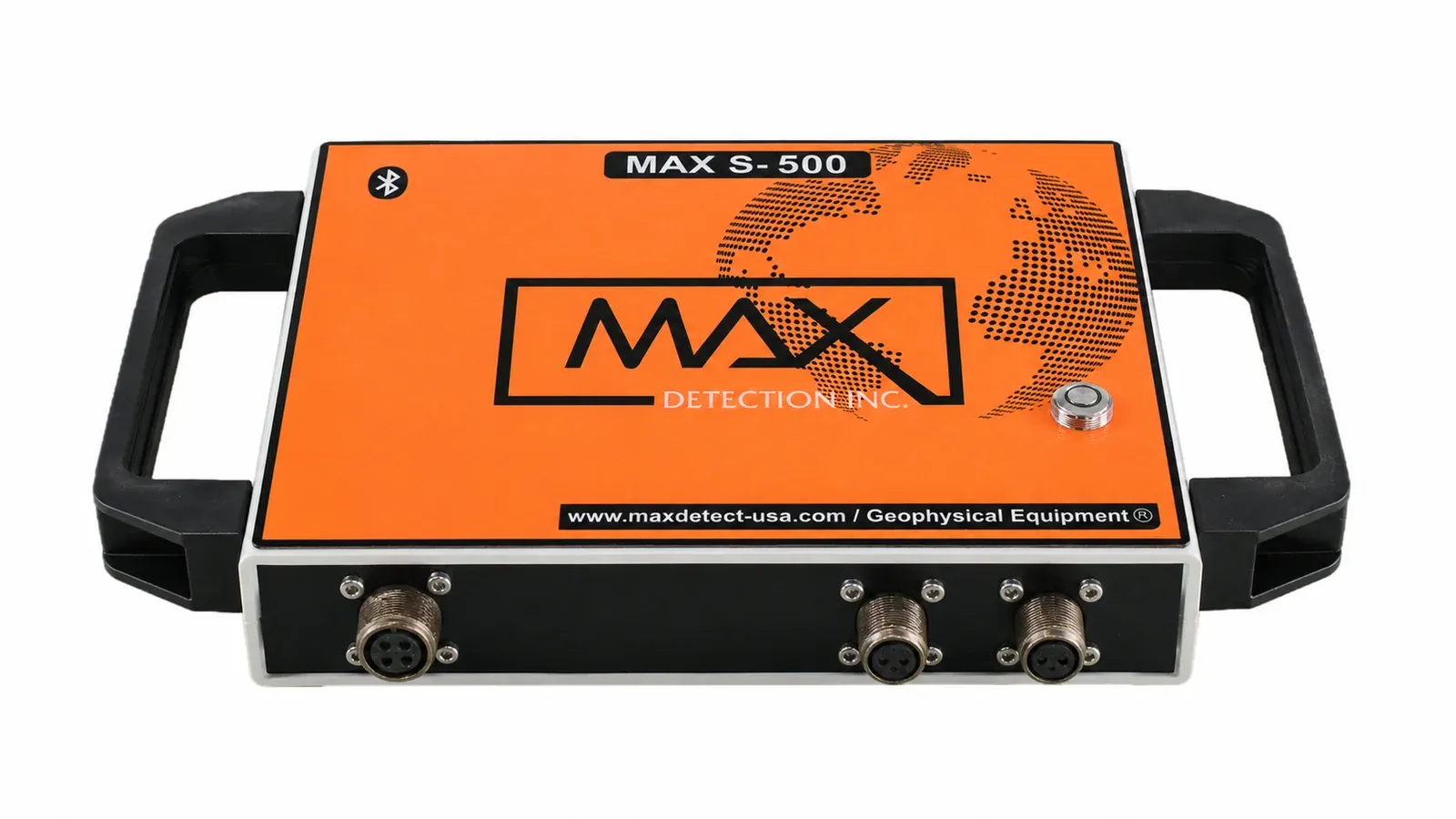
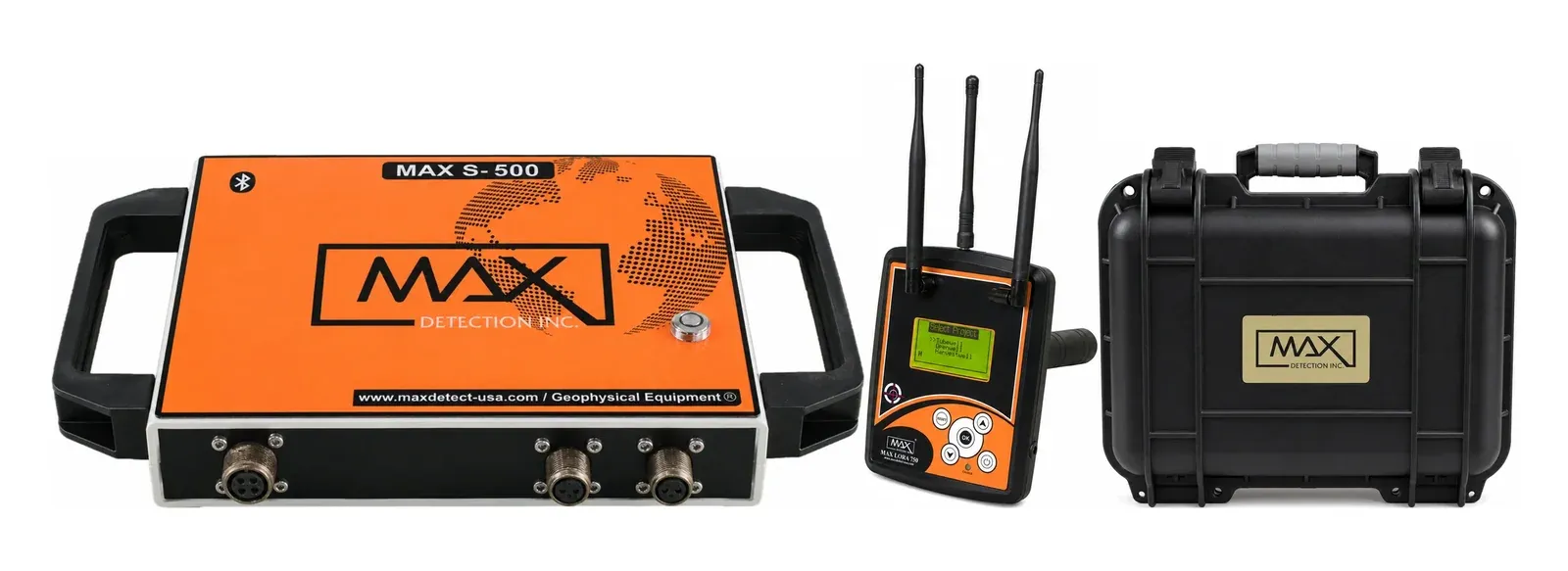
Max S 500 - A full picture of what’s under the ground before you drill.
Profiling System

Max S 500

A full picture of what’s under the ground before you drill.

  • Technology: Magnetotellurics (MT) - passive electromagnetic profiling
  • Depth: 150 / 300 / 500 m (up to 500 m depending on soil conductivity)
  • Scanning: Horizontal + vertical land scanning
View the full kit →
Max Profiler - Metre-by-metre horizontal scanning of rock and contour.
VLF Method

Max Profiler

Metre-by-metre horizontal scanning of rock and contour.

  • Technology: VLF (very low frequency) / VHF - auto frequency response measurement
  • Scanning: Horizontal, at every 1-metre interval
  • Front range (X-axis): 0-2,000 m
View Max Profiler →
ADS-IP - Vertical analysis that tells you whether to drill - and why.
Induced Polarization

ADS-IP

Vertical analysis that tells you whether to drill - and why.

  • Technology: IP (induced polarization), frequency-domain measurement
  • Scanning: Vertical land scanning, layer-by-layer
  • Depth selections: 150 / 300 / 500 / 750 / 1,000 / 1,250 m
View ADS-IP →

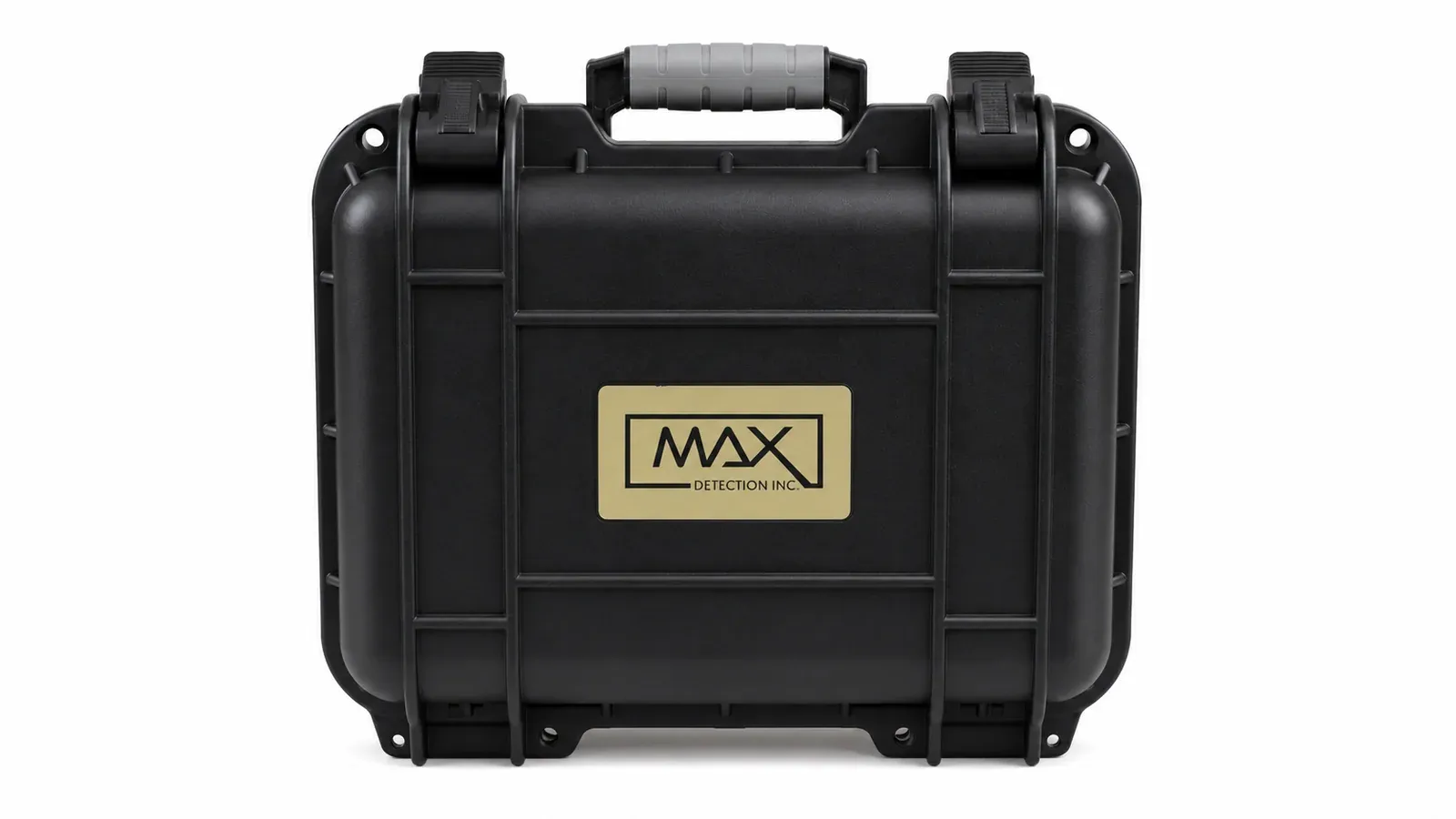
Product plates are studio renders made from our own photographs of the instruments, for presentation only. The Max S 500 page shows the full kit as photographed.

How the range works together

A complete survey workflow

The three field instruments are built to be run as one sequence - what the earlier Siddhani catalog called the Integrated Geophysical System.

  1. Scan horizontally

    The Max Profiler walks the site at 1-metre intervals, mapping rock formation and geological contours to shortlist fault zones.

  2. Pin the point

    The Max Lora 750 locates the exact borewell point within the shortlisted zone, marking it by magnetic-field response.

  3. Verify vertically

    The ADS-IP surveys straight down through that point, confirming density, porosity and permeability before you commit to drilling.

Heritage

Distributors for trusted brands since our early years

Before the Max range, Siddhani Enterprises distributed and supported Finly Instruments, 3D Locators, Geo Minax, PQWT, GER, Matrix Detectors, ADMT. Service and spares remain available for existing owners of these systems.

See legacy brands →

Get a call back from our team

Share three details - our team calls you back, usually the same day. All three are required.

Call now WhatsApp