Our core service
Borewell point location survey
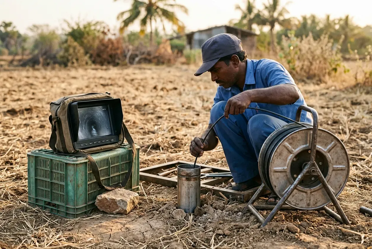
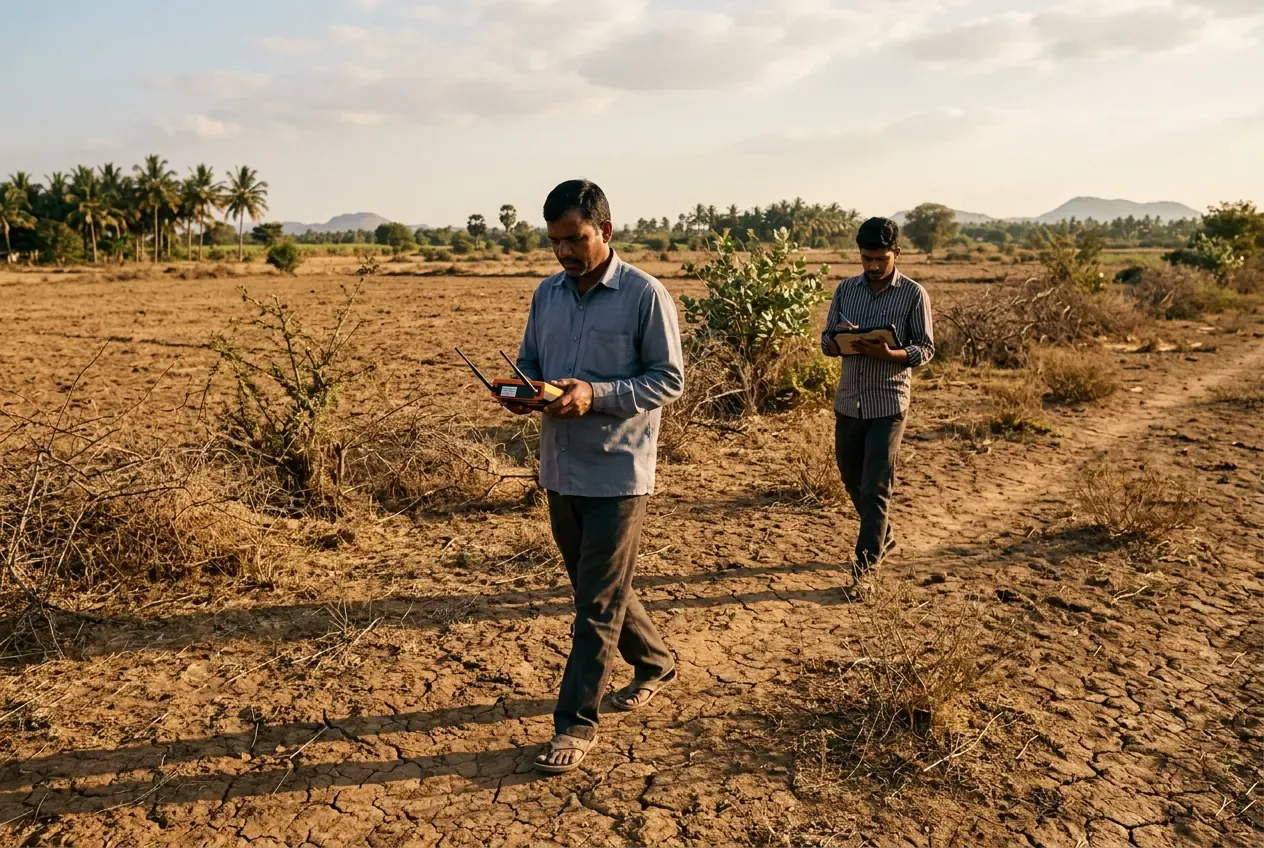
Scientific groundwater survey with Max instruments - fault-line locating, depth estimation and a clear drill / no-drill report before you spend on drilling.
Our own survey teams use the Max Lora 750, S 500, Profiler and ADS-IP systems to locate fault lines and water-bearing zones, estimate depth, and deliver a full report - profiler charts, 2D contour heatmaps, 3D plots and, for IP surveys, a five-parameter analysis at every depth.